My Los Angeles map poster was made in the early 90s. I drew on four separate 30”x40” illustration boards with pencil and then India ink. I then had these originals professionally photographed and from those, a print was made that was later reduced to one black and white image on bond paper on which I used colored pencils and markers to create the final original.
As for maps of Los Angeles neighborhoods, I started creating these in the late 90s. I was living in Silverlake and wondered one day whether anyone had made a hand-drawn map of this hilly enclave northwest of Downtown L.A. And so it all began.
I spent many evenings and weekends (when I wasn’t at work) sketching and doodling ares of the neighborhood and working out how the roads all joined up over the interesting terrain. I used the maps that were available to me at that time, e.g. atlases and The Thomas Guide, along with aerial views from postcards etc. I then transferred all of these sketches into my final map, which at the time I penciled onto 20”x30” illustration baord. When I was happy with the pencil work, I drew permanently using India ink (rapidograph pen).
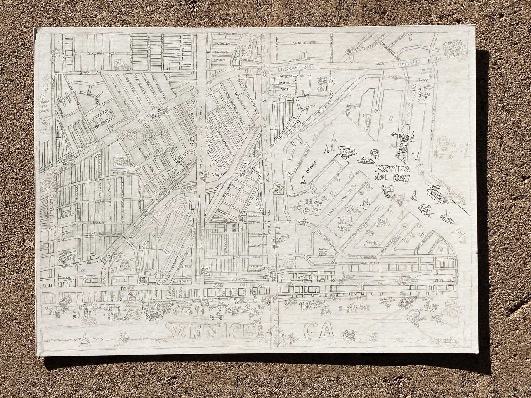
Not long after I completed and began selling my Silverlake map, people started asking me if I had a map of Echo Park, then Los Feliz, Mt. Washington, Eagle Rock, Venice, and so on. I made these maps in essentially the same manner: pencil followed by India ink on illustration board.
Several years later, I digitized the maps using a flatbed scanner and then colored them in Photoshop before having prints made. My process then evolved into both drawing and coloring directly in Photoshop. Tom Lamb Maps became my full-time business in 2014 and I’m grateful to make art whenever I want.
Original 20”x30” Silverlake map in India ink on illustration board
Original 20”x15” Los Feliz map in India Ink on illustration board
Original 20”x30” Eagle Rock map in India ink on illustration board
Original hand-drawn Los Angeles map, colored with markers and pencils on bond paper
Four panels of original Los Angeles map in India ink on illustration board
Original 20”x30” Echo Park map in India ink on illustration board
Original 22”x17” Mt. Washington map in India ink on illustration board
Original 20”x15” Venice map in India ink on illustration board


